Importance of GPX Files on Trekking – A Complete Guide

GPX stands for GPS Exchange format file, which is an open standard used by many GPS programs, computer software, and on the web. It is simply a text file with geographic information such as waypoints, tracks, and routes saved in it. The GPX files can be used to save, send and upload routes that can be used by many GPS programs.
Trekkers really want to know the importance of a GPX file on the trek. It can save your life on a trek or on camping. If you are going with a trekking guide or an organization, it is useful to have this knowledge. A small simple file or a tracking device guides your safety on the trek and makes it essential for anyone going on the trek.
GPX files are stored in WGS 84 format. It has a decimal equivalent of latitude and longitude. A coordinate in WGS 84 is -77.508333, and in latitude would be S 77° 30′ 29.9988″ (degrees minutes seconds). Any unit that uses the GPS satellites will expect the GPX data in this WGS 84 format.
Three types of data are stored in GPX files:
Waypoint – Waypoint is the GPS coordinates of a point. It may also include other descriptive information.
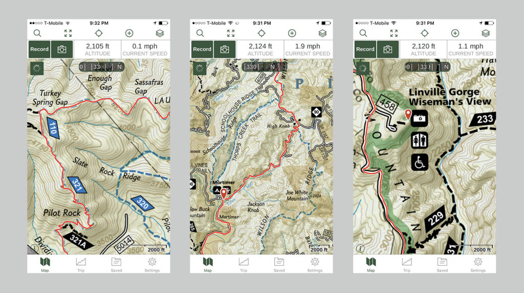
Route – Route is a list of track points, which are waypoints for a turn or stage points, that lead to a destination. It is made of route points between which a program must get the corresponding track from a vector map to draw it. The route points may be crossings or junctions or as distant as stopover towns on the trip project
Track – Track is a list of points that describe a path. This is made of an adequate number of track points to exactly draw every bend of a path on a bitmap.
These devices are used to open GPX files and view routes:
- On Desktop
- On Mobile phone
- On a GPS device
On Desktop:
The common and easy way to open a GPX file and view the map data. It contains it by uploading to the web version of Google Maps. Then sign in to Google Maps in the web browser, you can add a GPX file as a new map by:
- Opening the Google Maps menu and selecting Your places
- Selecting Maps → Create map
- A new Google Maps window is opening now. In this window, select the Import button that appears below the Untitled tab
- Upload the GPX file which you created, the map data the file contains will appear in Google Maps
Other desktop applications are:
- Google Earth Pro (cross-platform)
- Garmin BaseCamp
- Fatmap
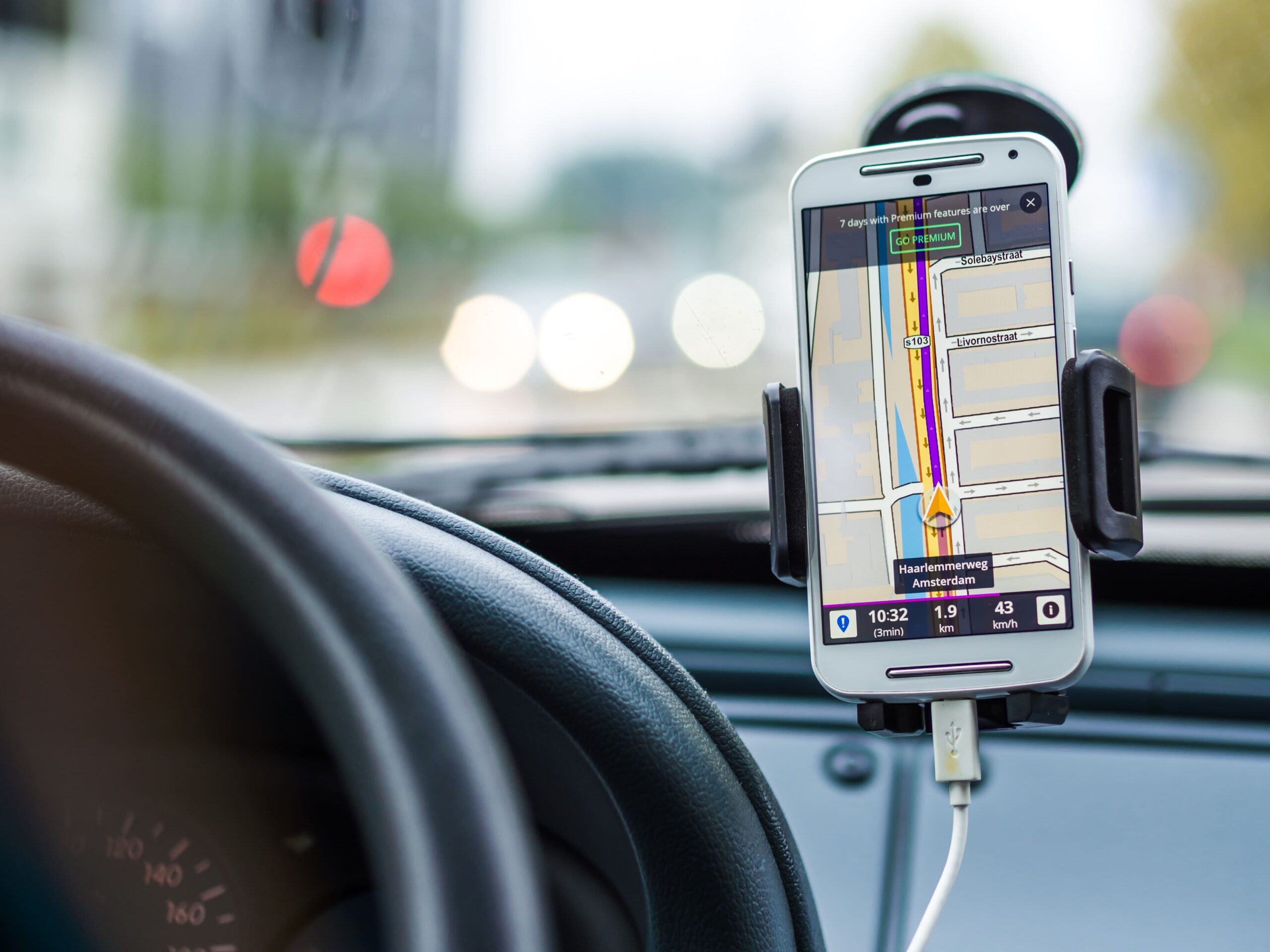
On the Mobile phone:
You need to download a mobile app first, to open a GPX file on your mobile phone Android, or Ios. There are many mobile apps available, few apps used are,
- Gaia Gps – App running on smartphones outperform a conventional handheld GPS like a Garmin device in almost every way
- Fatmap – Amazing 3D maps ideal for hiking, skiing, biking in the mountains
- RunGo – It gives voice directions, turn-by-turn
- ARA GPXViewer – The downside is you can’t view many GPX tracks at once
- BikeGPX Free and alerts will tell you when you’re off route
- Strava – Press “Record” and click on the dotted line route icon and then “Use Route”
On a GPS device:
A lot of sports enthusiasts have a sports watch that comes with GPS features. For biking or hiking, special outdoor GPS devices can be used as well to open route files. All kinds of sports GPS devices are available in the brand Garmin.
Using a Garmin device, you will first have to upload the GPX file to Garmin Connect and save it. From here you can send it to your GPS device and on your adventures use the route for navigation purposes.